Devpost
Participate in our public hackathons
Devpost for Teams
Access your company's private hackathons
Grow your developer ecosystem and promote your platform
Drive innovation, collaboration, and retention within your organization
By use case
Blog
Insights into hackathon planning and participation
Customer stories
Inspiration from peers and other industry leaders
Planning guides
Best practices for planning online and in-person hackathons
Webinars & events
Upcoming events and on-demand recordings
Help desk
Common questions and support documentation
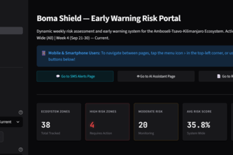
BomaShield is a geospatial risk assessment and early warning system. By monitoring live ecological conditions and satellite telemetry, it identifies areas highly vulnerable to human-wildlife conflict.
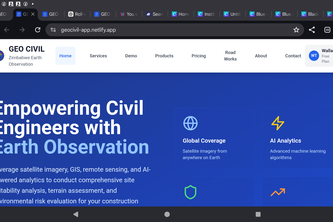
GEO CIVIL is an AI powered web application in the use of geospatial Technology Company that empowers engineers in the construction sector and government stakeholders with satellite based earth
Echo-Resilience delivers AI voice climate alerts in local dialects over basic 2G calls; no internet or literacy needed. Users reply by voice to close the feedback loop with live ground data.
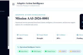
An explainable early warning-to-early action platform that turns climate and livelihood risk into prioritized decisions, assigned actions, and last-mile messages.
Beeroole AI transforms early warnings, weather data, and artificial intelligence into practical farming advice that helps Somali farmers make smarter decisions and build resilience to climate change
Early warning already works. The last mile doesn't. HATUA turns forecasts into verified, actionable advisories in local languages, on any phone, and refuses to send what it cannot prove.
Predicting where herds collide, before conflict does.
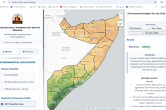
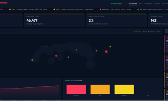
AI-powered early warning platform turning satellite data into district-level drought, flood, and vegetation alerts for Somalia's responders.
A web application that verifies credibility of news received from different sources and has an inbuilt SMS API to send warning SMSs directly to the locals by ward and in their preferred language.
Environmental Intelligence, Explained
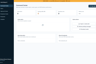
AlertBridge AI turns rainfall, soil-moisture and exposure data into explainable district risk forecasts and bilingual alerts, helping authorities act earlier and communities prepare faster.
AINA bridges the gap between climate forecasts and humanitarian response, transforming complex geospatial hazard data into actionable, localized, and trackable workflows before a disaster strikes.
Insight before impact
From Data Chaos to Food Security Intelligence | Unifying disconnected data sources into one intelligent platform
We forecast the satellite signals of drought before satellites can see them through ML cascade bridges + ECMWF SEAS5 deliver 1–3 month drought warnings for Kenya's pastoral drylands.
Turning trusted community radio into a smart early warning platform that delivers timely alerts, local information, and life saving actions.
From regional climate forecasts to localized, actionable, multilingual early-warning messages in minutes
AI Health Shield is an AI-powered disease surveillance platform that predicts outbreaks using climate and health data, delivering real-time alerts, risk maps, and response guidance.
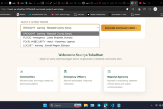
Turns ICPAC hazard triggers into plain-language warnings and officer checklists, with every safety-critical fact locked to source and validated live, not just claimed.
See the Risk. Choose the Right Action. Prove the Impact.
I built AIGVDetPlus, an optimized, research-backed deep learning pipeline designed to detect deepfake videos by analyzing spatial and temporal anomalies in manipulated media to protect digital trust.
Our AI smartphone app helps African businesses turn cheap raw crops into high-value certified goods by using instant visual scanning to generate trusted Quality Certificates.
Preserving Rwanda’s Heritage, Digitally.
25 – 48 of 67